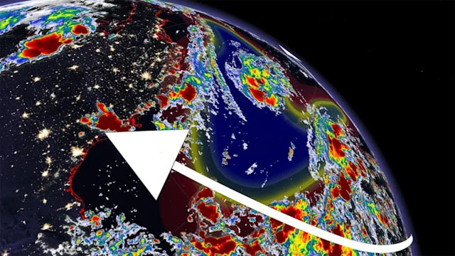
 The peak of the Atlantic hurricane season is fast approaching, and the basin is wasting no time in conjuring up disturbances that have a chance of development in the next five days.
The Atlantic hurricane season runs from June 1 to Nov. 30 this year, with the crest of it occurring on Sept. 10.
This week, the U.S. National Hurricane Center (NHC) is closely monitoring three disturbances in the Atlantic Ocean that have the possibility of further tropical enhancement over the coming days.
However, there are some obstacles in the way of these disturbances getting stronger, says Tyler Hamilton, a meteorologist at The Weather Network.
“The greatest storm inhibitors right now are changing wind direction with height, and also, the Saharan Air Layer (SAL). That’s the dusty air blowing off of the Sahara Desert. That is going to put a cap on some storm development, but some of these storms that avoid that dust [will strengthen],” says Hamilton.
THREE SYSTEMS WORTH MONITORING
The first system is a broad area of low pressure that is expected to form over the southwestern Caribbean Sea in a couple of days from a tropical wave currently located over the central Caribbean Sea.
Environmental conditions are forecast to be conducive for development of the low, if it remains over water, and a tropical depression could form late this week or on the weekend while the system moves northwestward over the northwestern Caribbean Sea, across the Yucatan Peninsula of Mexico, and into the southwestern Gulf of Mexico by Sunday. Formation chance through 48 hours is low (10 per cent). Formation chance through five days is medium (60 per cent).
The second is a broad trough of low pressure producing disorganized showers and thunderstorms over the central tropical Atlantic, more than 1,600 km east-northeast of the northern Leeward Islands.
Little development of this system is expected during the next day or two due while it moves northwestward at about 15 mph over marginally conducive ocean temperatures and is affected by strong upper-level winds. Afterwards, environmental conditions are expected to become more conducive for development, and a tropical depression is likely to form by the end of the week while the system turns eastward over the central Atlantic. Formation chance through 48 hours is low (20 per cent). Formation chance through five days is high (70 per cent).
Finally, another tropical wave over the far eastern tropical Atlantic, nearly 500 km south-southwest of the Cabo Verde Islands, is producing a concentrated area of showers and thunderstorms. Some development of this system is possible over the next several days while it moves westward to west-northwestward at 16-24 km/h over the eastern tropical Atlantic. Upper-level winds are forecast to become less conducive for development by the weekend. Formation chance through 48 hours is low (20 per cent). Formation chance through five days is low (30 per cent).